


Le boulou - Saint Jean pla de corts via le lac

stef789
User GUIDE
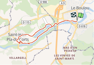

Length
8.7 km

Max alt
108 m

Uphill gradient
77 m
Km-Effort
9.7 km

Min alt
71 m

Downhill gradient
75 m
Boucle
Yes
Creation date :
2022-08-13 11:31:08.146
Updated on :
2022-08-13 14:08:42.656
2h35
Difficulty : Very easy

FREE GPS app for hiking
 SityTrail
IGN / Geographical institutes
SityTrail Plus
The world is yours!
About
Trail Walking of 8.7 km to be discovered at Occitania, Pyrénées-Orientales, Le Boulou. This trail is proposed by stef789.
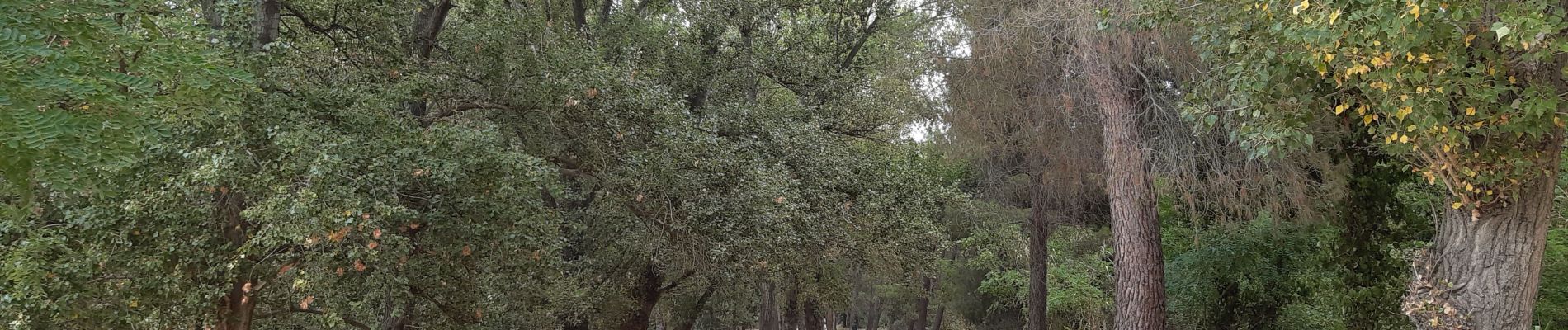
Photos


Positioning
Country:
France
Region :
Occitania
Department/Province :
Pyrénées-Orientales
Municipality :
Le Boulou
Location:
Unknown
Start:(Dec)
Start:(UTM)
486177 ; 4707460 (31T) N.
Comments